FAA Part 107 Licensed Aerial Media
Aerial & Drone Real Estate Photography — Palm Beach County
Professional drone photography and video for real estate listings across Palm Beach County. Lot lines, waterfront views, dock features, and community amenities — delivered in 24–48 hours.
Why Listings Need Drone Media
Show the property from the perspective buyers actually want.
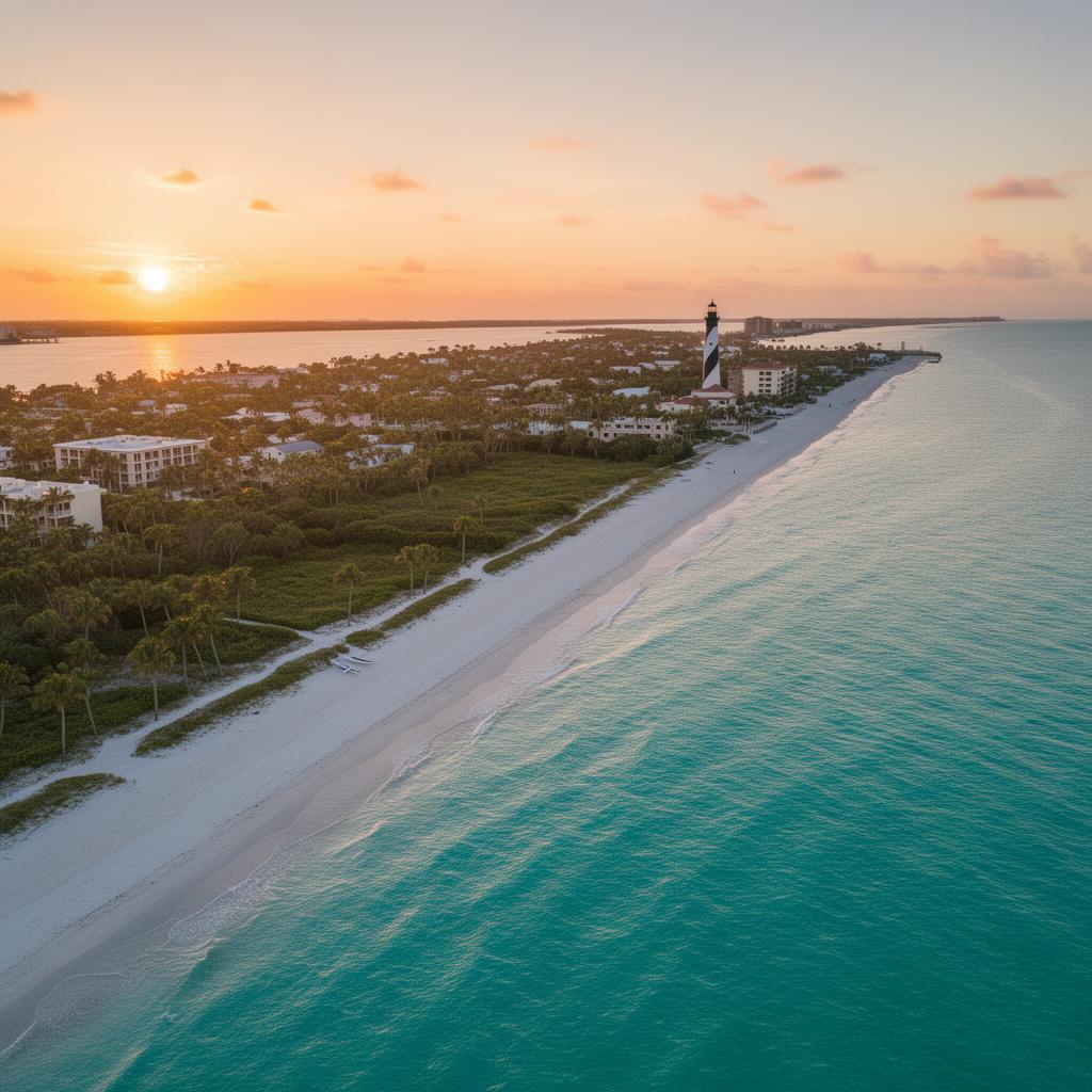
Ground-level photos can only show so much. In Palm Beach County, where waterfront access, golf course frontage, and gated amenities drive price, the aerial view is often what sells the showing first.
Our FAA Part 107 licensed drone work captures the full property story: lot lines and setbacks, the roofline and exterior condition, the dock and water frontage, and the neighborhood context that makes location valuable. Every flight is planned for safety, airspace compliance, and the best light for real estate marketing.
We deliver edited stills and cinematic 4K aerial video ready for MLS, Zillow, Realtor.com, social media, and listing presentations. Turnaround is 24–48 hours so you can market faster.
Drone Services
What our aerial shoots cover.
From golf communities to waterfront estates, we use licensed drone pilots and professional editing to deliver listing media that stands out.
Property lot lines & boundaries
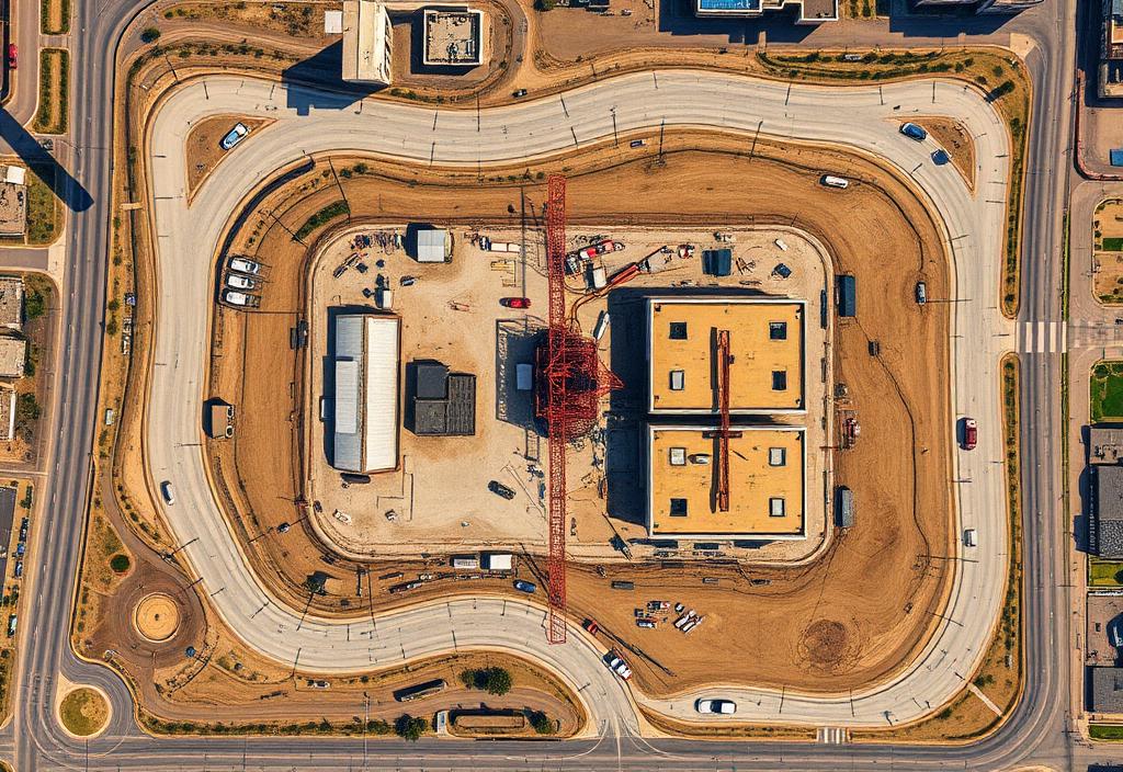
Elevated drone shots show the full lot shape, setbacks, and how the home sits on the land. Buyers see property lines, driveway approach, and green space without relying on a site plan.
Waterfront & dock views
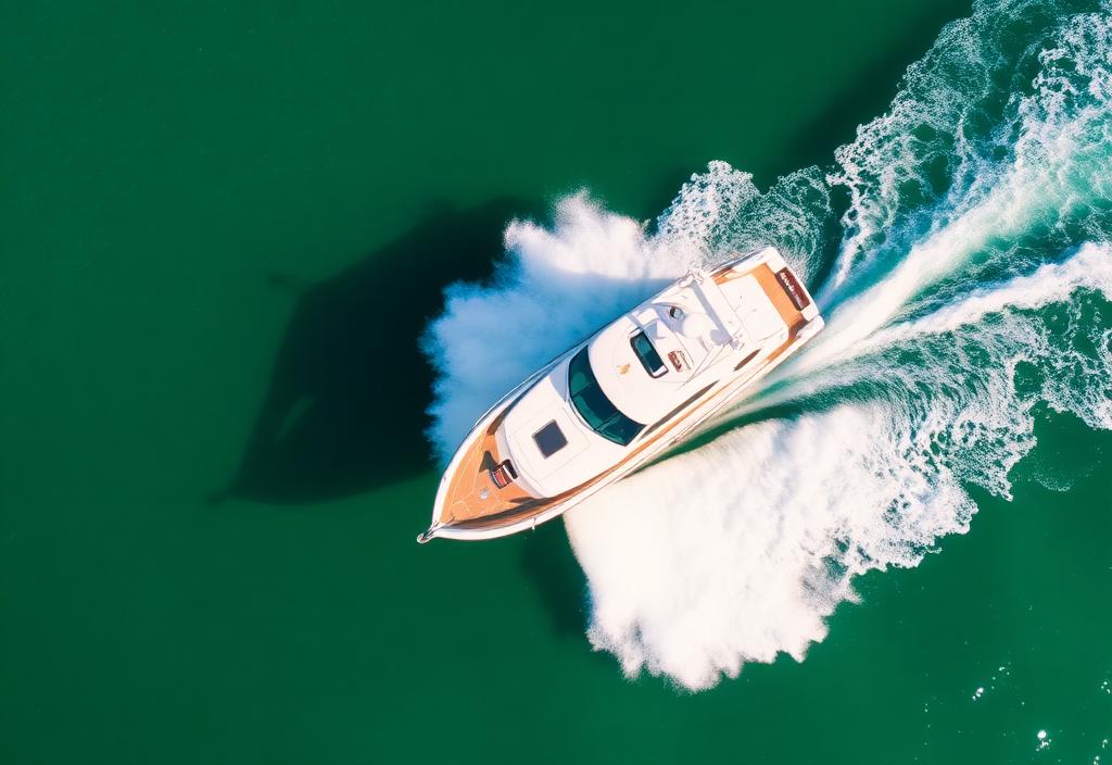
For Jupiter, Tequesta, North Palm Beach, and Singer Island listings, we capture water frontage, dockage, boat lifts, and pool-to-water sightlines from angles only a drone can reach.
Neighborhood context
Aerial video reveals proximity to golf courses, marinas, parks, and nearby waterways. We frame the home within its surroundings so buyers understand location value before they visit.
Community amenities
Golf communities, clubhouses, tennis courts, and private beach access show better from above. We document the amenities that support luxury pricing in gated Palm Beach County neighborhoods.
Licensed & Insured
Fly with confidence.
PB Visuals operates under FAA Part 107 certification with full commercial liability insurance. We follow airspace rules, community restrictions, and safe flight practices on every shoot — protecting your sellers, your property, and your listing timeline.
Before any drone session, we confirm location clearance, weather windows, and the best time of day for light. We also coordinate with on-site agents, homeowners, and HOAs when needed.
Most aerial packages are edited and delivered within 24–48 hours. Need it faster? Rush delivery is available on request.
Service Area
Drone real estate photography across Palm Beach County.
We travel throughout Palm Beach County for agents, builders, and developers who need consistent aerial media.
Book your aerial listing shoot.
Get FAA Part 107 drone real estate photography in Palm Beach County — lot lines, waterfront views, and neighborhood context, delivered in 24–48 hours.